GIS Applications for Defense and Intelligence
An Overview


GIS Applications for Defense and Intelligence
Presented at Esri User Conference 2020
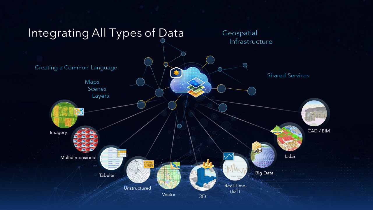
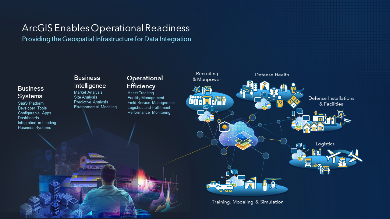
GIS is used to support the Intelligence, Operations and Readiness missions. This session will provide an overview of the unique capabilities in ArcGIS for Defense and Intelligence organizations. This session will help new or returning users familirize themselves with resources available to Defense and Intelligence organizations.