Resources
Start Here - GIS Applications in Defense and Intelligence
If you are new to GIS in the Defense and Intelligence community, here are a collection of blog posts, articles, and presentations on general topics. Use these resources to promote the value of GIS to leadership in your organization.
I also recommend you check out Esri’s official Intelligence Website.
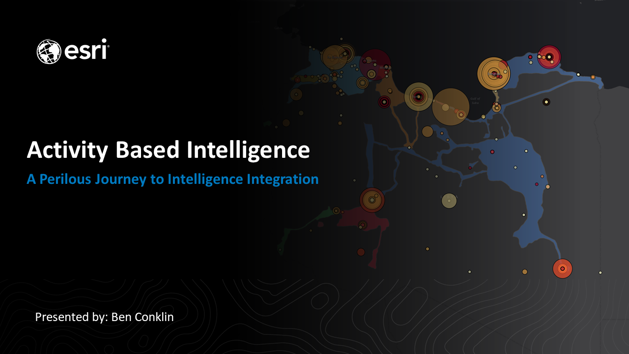
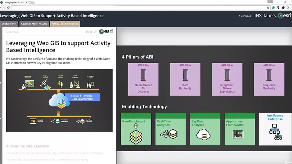
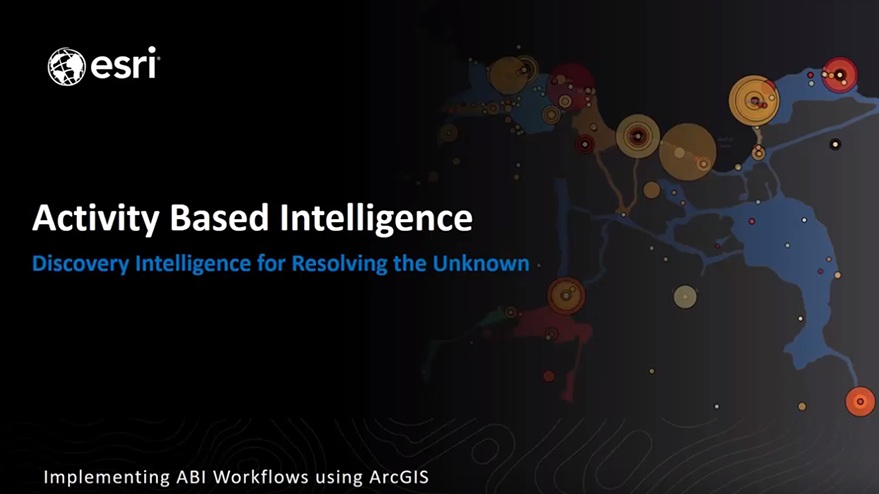
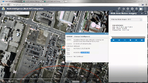
Activity Based Intelligence (ABI)
Discovery Intelligence for Resolving the Unknown.
Activity-based intelligence (ABI) applies geographic thinking in new ways to help solve complex intelligence problems. ABI involves a new method of intelligence gathering that is data driven, employs multiple sources of intelligence, and is multidisciplinary. Geospatial intelligence (GEOINT) is the foundation for all aspects of ABI. Geographic information system (GIS) technology provides the platform to enable organizations to adopt ABI.
I frequently present and write on ABI topics. These resources are from presentations, papers and interviews on using GIS to support ABI workflows.

Artificial Intelligence
Artificial Intelligence and specifically the fields of machine learning and natural language processing hold great promise for intelligence analysis. GIS can help to connect analysts and organizations to this enabling technology.
For the past few years I have worked with many organizations to help them understand the potential of AI, as well as the connection between AI and GIS.


Intelligence Preparation of the Battlespace / Operational Environment
Intelligence Preparation of the Battlespace / Operational Environment (IPB / IPOE) is the key integrating function for intelligence, supporting military planning and operations. The IPB process is inherently geospatial.
Use these resources to promote the value of GIS and to learn about how GIS supports IPB.
GIS is used to support the Intelligence, Operations and Readiness missions. This session will provide an overview of the unique capabilities in ArcGIS for Defense and Intelligence organizations. This session will help new or returning users familirize themselves with resources available to Defense and Intelligence organizations.