Defense and Intelligence Applications GIS Applications
A 2 minutes sizzle real for example applications of GIS in Defense and Intelligence
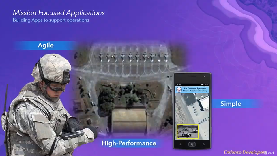
Developing Apps for Any Mission
Develop applications for any mission using simple developer tools.

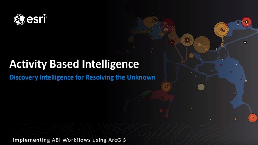
Activity Based Intelligence: A Perilous Journey to Intelligence Integration
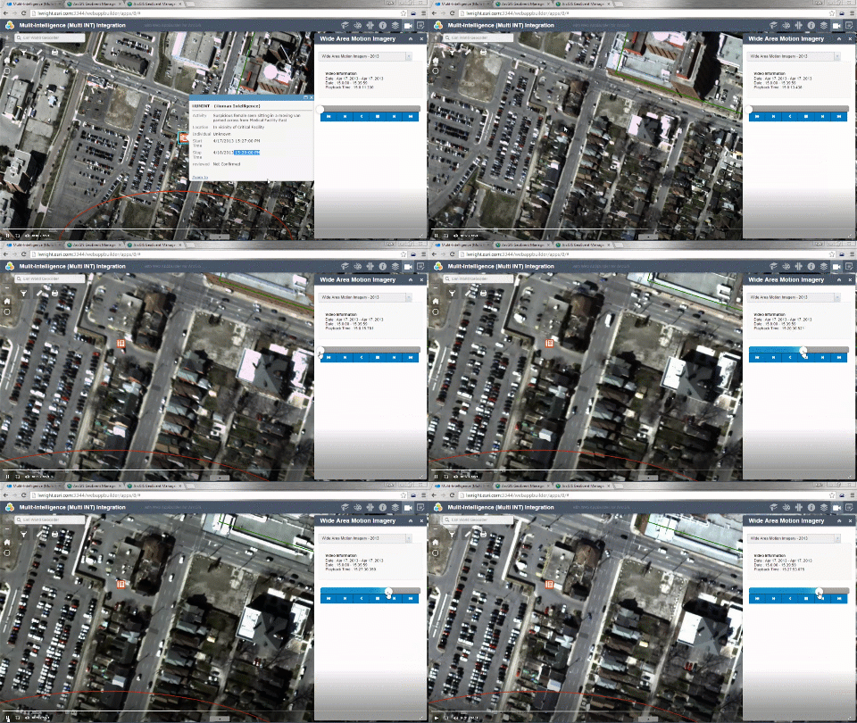
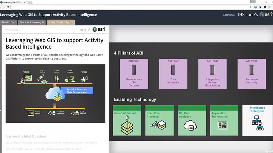
Over the last several years, Activity Based Intelligence has emerged as a new method of intelligence. Activity Based Intelligence (ABI) applies geographic thinking in new ways to help solve today’s complex intelligence problems. Implementing ABI involves the convergence of new sources of intelligence information, advancements in technology like Big Data , the Internet of Things (IoT), and a new way of thinking about intelligence production.
Activity Based Intelligence: A Perilous Journey to Intelligence Integration
An overview of ABI including the challenges for organizations looking to implement ABI.

Time-Certainty
Combating the time certainty dilemma. The work we did with Phil Chudoba to understand the challenges of today's military.
Using GIS for Intelligence Operations
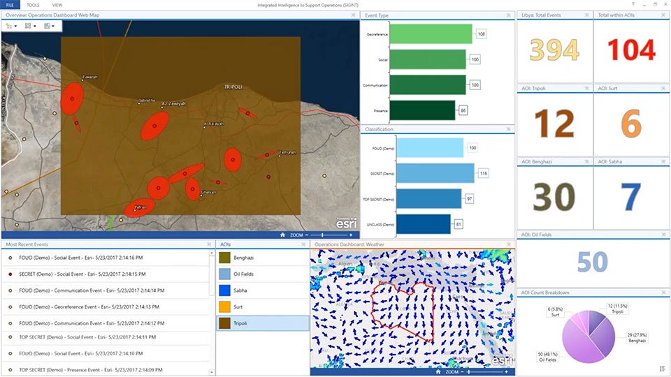
An overview of using GIS for conducting Intelligence Operations.
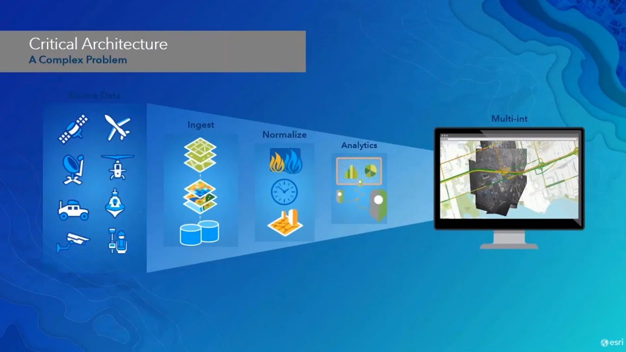
Out of the Basement: GIS Pro and Intelligence
A webinar discussing how to get the GIS professional “out of the basement” and more connected to the intelligence mission.
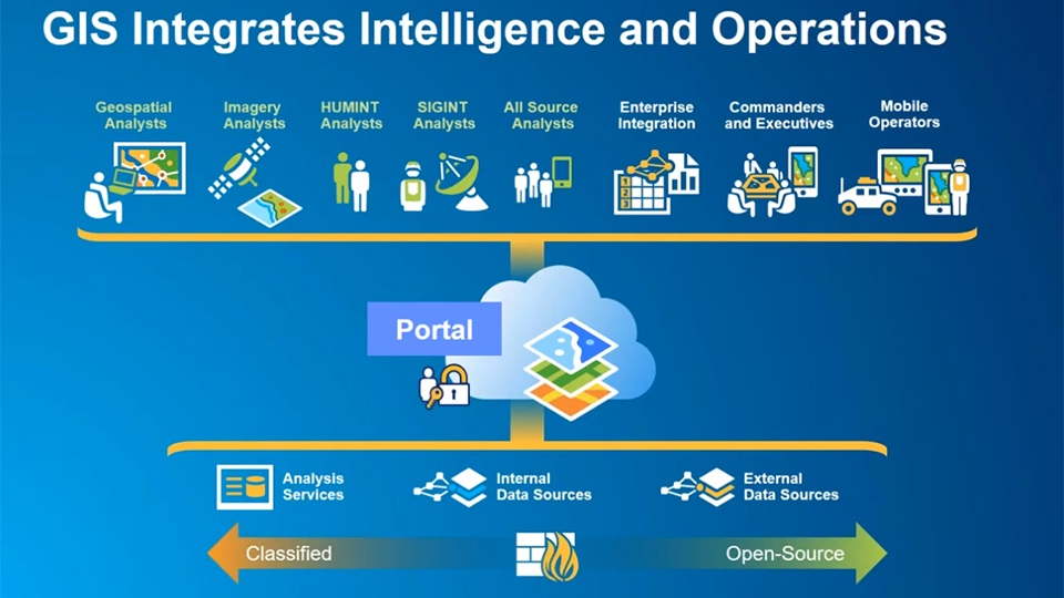
Integrating the Intelligence Enterprise
Integrating the Intelligence Enterprise by using GIS for integrating all source of intelligence and providing an architecture for sharing and collaboration.
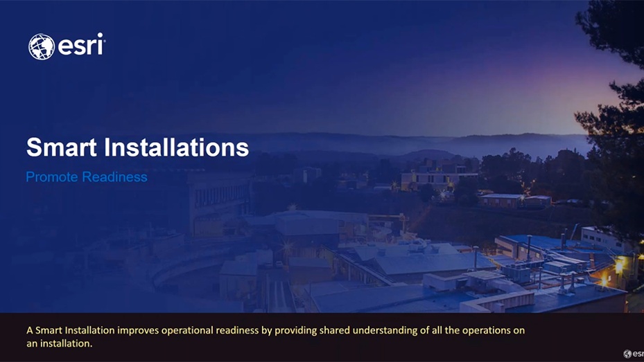
GIS Applications for Smart Installations
Managing installations using GIS to improve operational readiness.

Enabling the Human Machine Team
To realize the power of AI, we need to connect humans and machines. GIS has strong architecture and foundation for bridging that gap.

Exploiting AI and Machine Learning for GEOINT
Use GIS to connect analysts with AI and Machine Learning

Bridging the AI GAP
Analysts and AI: Bridging the Gap
Successful transition will require new training and standard
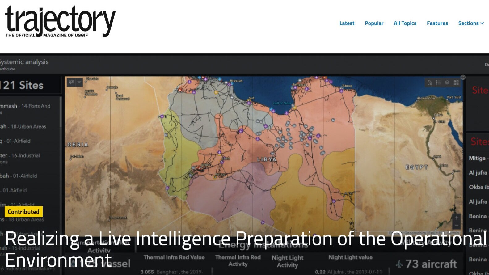
Realizing a Live IPOE/IPB
Intelligence Preparation of the Operational Environment is a mandatory step toward the understanding of an area of interest and the planning of a relevant course of action to support the warfighter

GIS Applications for Defense and Intelligence
GIS is used to support the Intelligence, Operations and Readiness missions. This session will provide an overview of the unique capabilities in ArcGIS for Defense and Intelligence organizations. This session will help new or returning users familirize themselves with resources available to Defense and Intelligence organizations.


